Profile
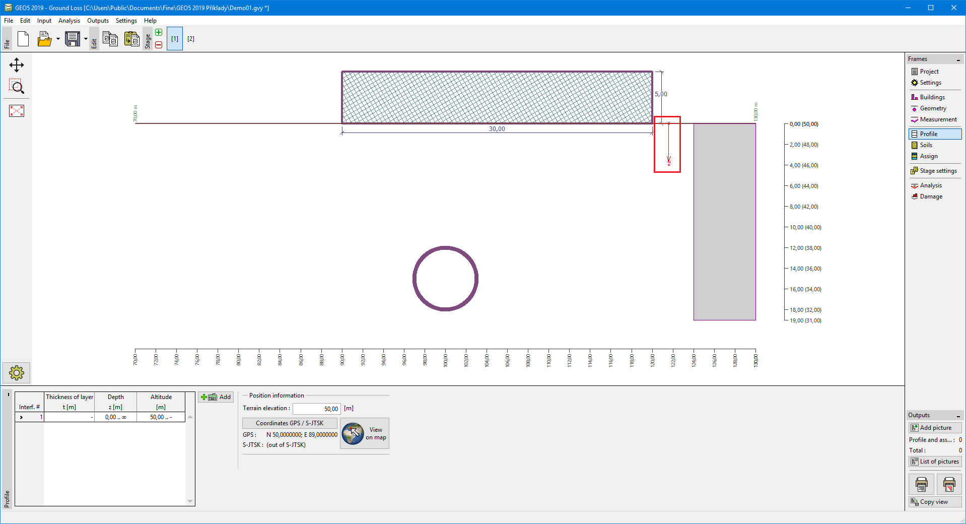
The "Profile" frame contains a table with a list of input interfaces. After specifying interfaces, it is possible to edit the thicknesses of individual layers using active dimensions.
Adding a layer is performed in the "New interface" dialog window. The layer can be defined by z-coordinate (measured from the top of the structure) or by its thickness.
In this frame, it is also possible to enter optional information about the structure location:
- terrain elevation - if the terrain elevation is input, an altitude column for the layers is displayed in the table
- GPS coordinates - if the coordinates are input, it is possible to show a location of the structure on the Google Maps using the "View on map" button.
The program allows us to raise or lower the top point of a structure in the "Change of terrain elevation" dialog window and, this way, to move the entire interface while keeping the same thicknesses of individual layers.
Data input in the frame is allowed if the classic theory of analysis is selected in the frame "Settings".
 Frame "Profile"