Edit of Soil Profiles
The real boreholes contain a large number of soil layers - however, the geotechnical engineer works with a simplified model. The geotechnical types are used for this simplification. The boreholes are entered exactly (with all layers), the simplification is performed when soil profiles are created - these profiles represent the geotechnical model.
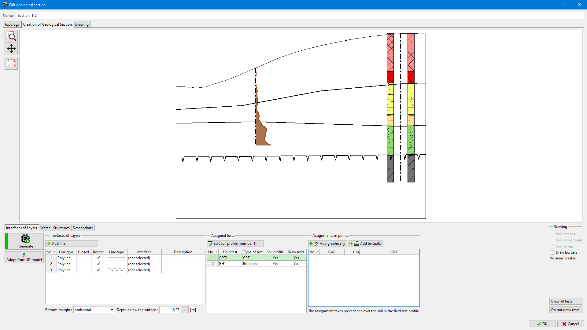
In the picture below, we see borehole, CPT and our idea of the geological section.
 Geological section with Field tests
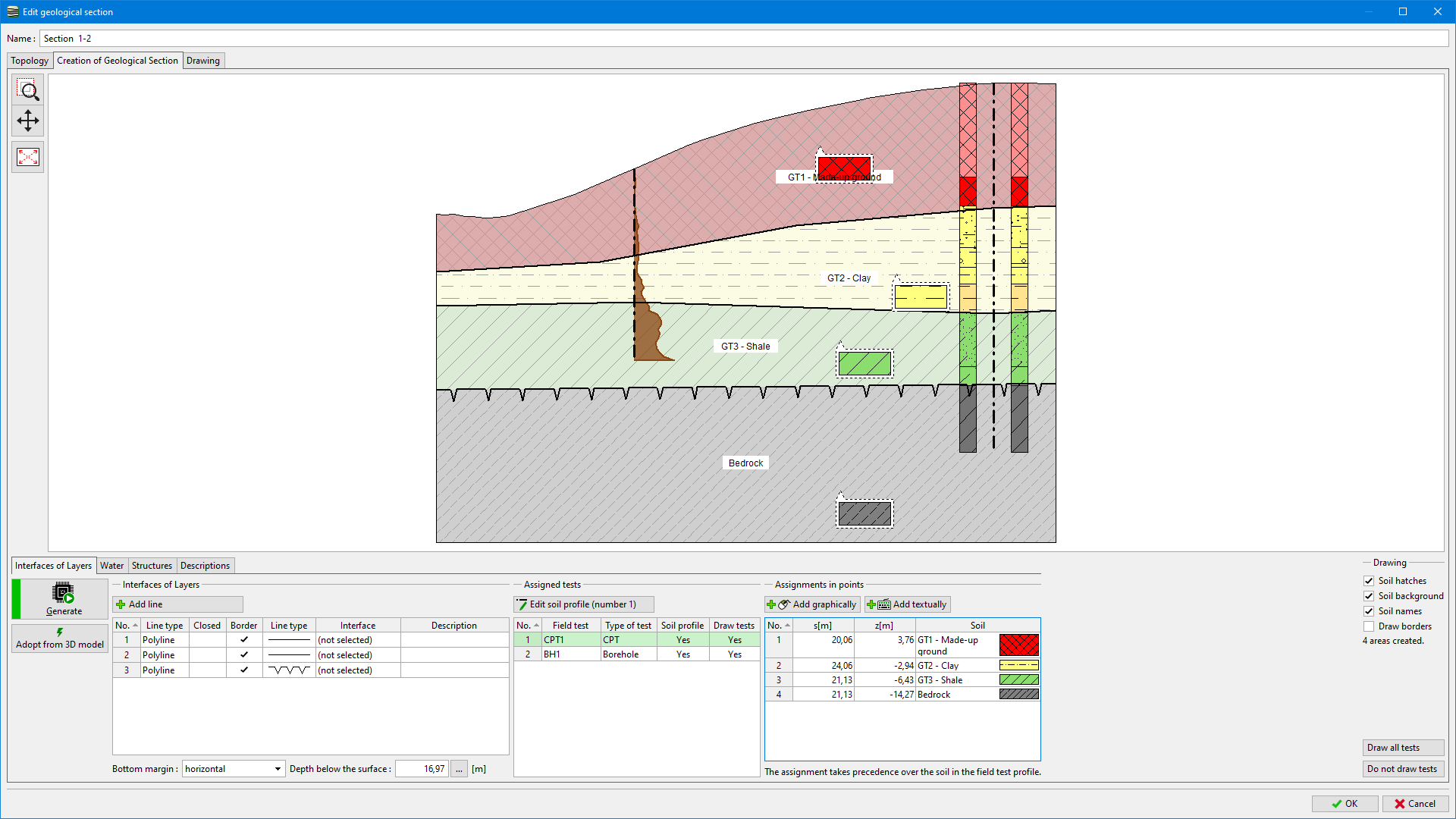
We assign soils/geotechnical types into the areas and generate the section.
 Soil assigning
We can create Soil profile from the geological section using the "Adopt profile from geological section" button.
 "Edit soil profile" dialog window
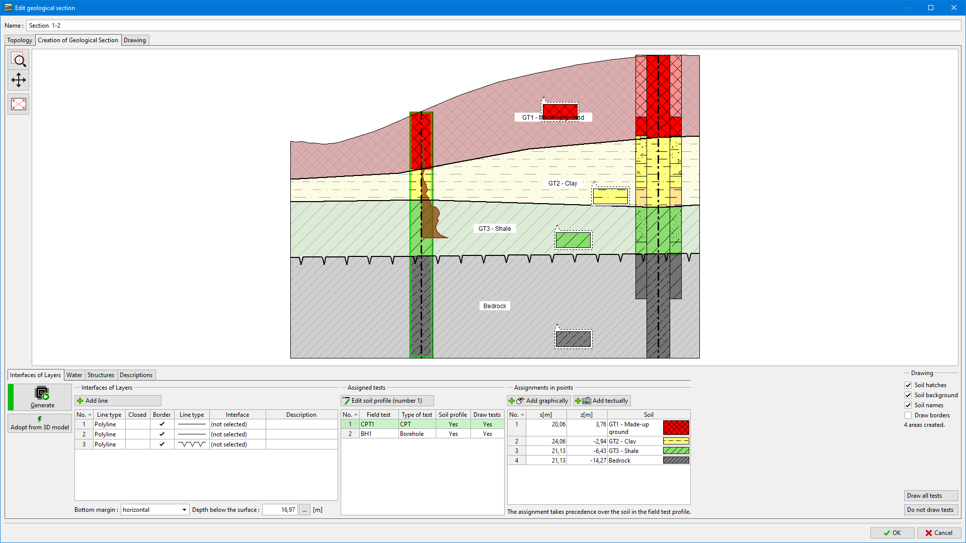
Created soil profiles improve the generation of further geological sections, overall 3D subsoil model, and geological documentation of the geotechnical model.
 Created soil profiles