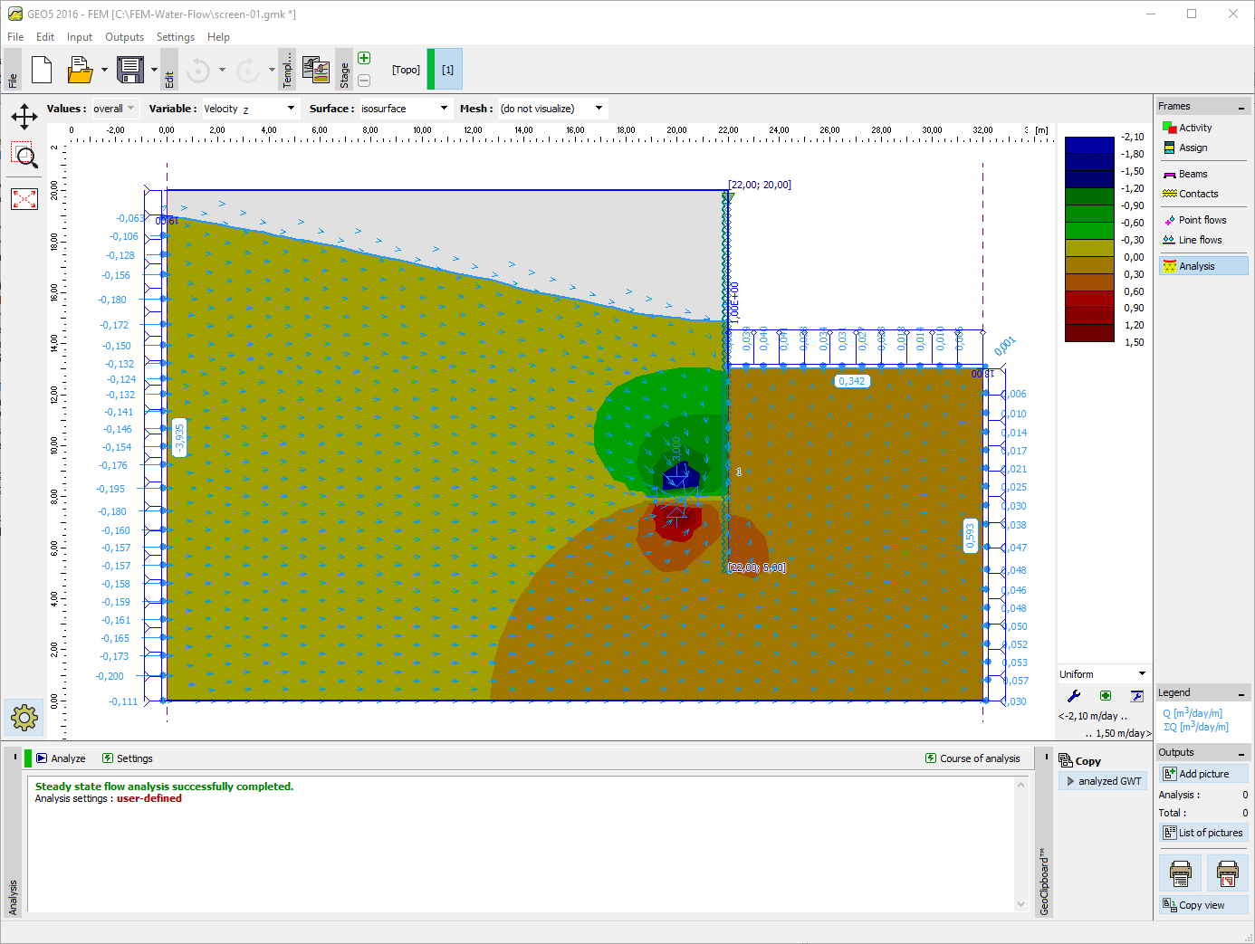
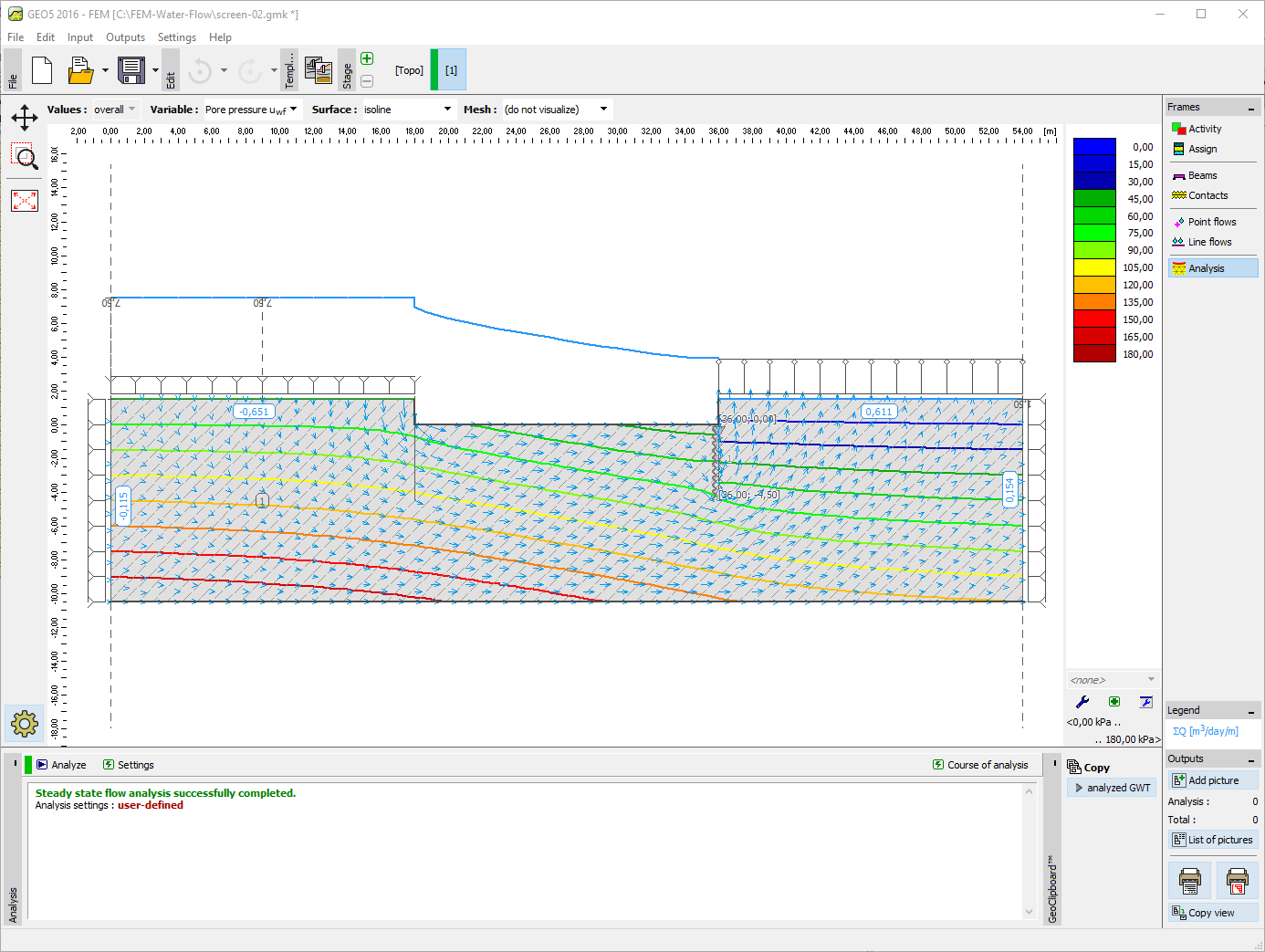
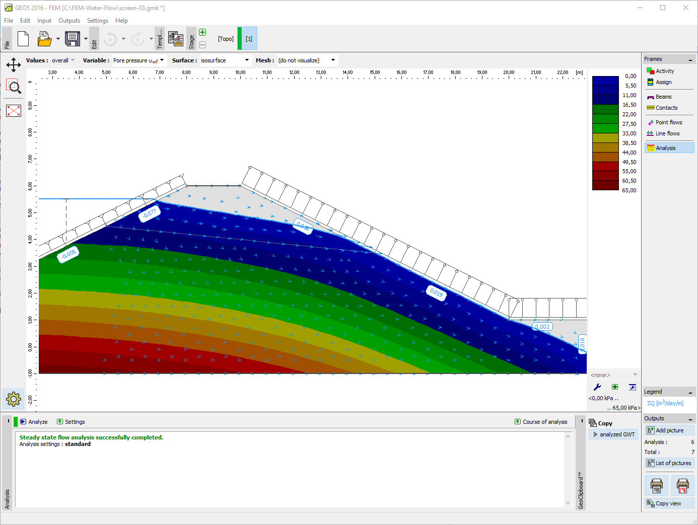
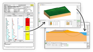
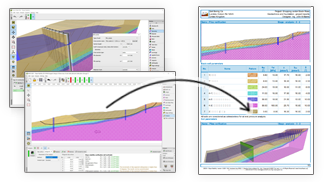
The FEM - Water Flow is used to perform steady state or transient water flow analysis (seepage). Given the material properties and initial conditions at the model boundaries the program computes the evolution and steady state of the pore pressure distribution, degree of saturation in the unsaturated zone, seepage velocities and inflow/outflow through the model. The resulting ground water table can be imported into the standard stress-strain analysis.
Water Flow is an extension module of the FEM program for the analysis of general geotechnical problems.
More Features
The module is not available separately. The FEM program is required.


The software in general is very good and ties in well with the way we do things here. From our review, the calculation results compares very well with our methods for both slope stability and settlement. The graphics and the ‘point-and-click’ data input are also very good and makes the program very easy to use.

It’s really great how easy the software is. I’m now doing the calculations so much faster and easier than doing it manually and most importantly, the technical customer service team are great and they respond instantly and professionally to any question or clarification. Thank you guys for being so awesome. High fives!

Great software....highly recommend.....always updating/improving and implementing feedback from users.