Mobile App
Mobile app GEO5 Data Collector (for Android and iOS) is used for data collection in the field or laboratory and works with mobile phones and tablets. The mobile application and the Stratigraphy and Laboratory program can then exchange these data.
The mobile app allows entering data according to a selected Stratigraphy template, working with Google Maps and GPS data, photos, videos, and audio recordings. Since the app works with templates, the user can easily define by himself, which data he needs to enter through the app. The app is available on Google Play and App Store.
![]()


![]()
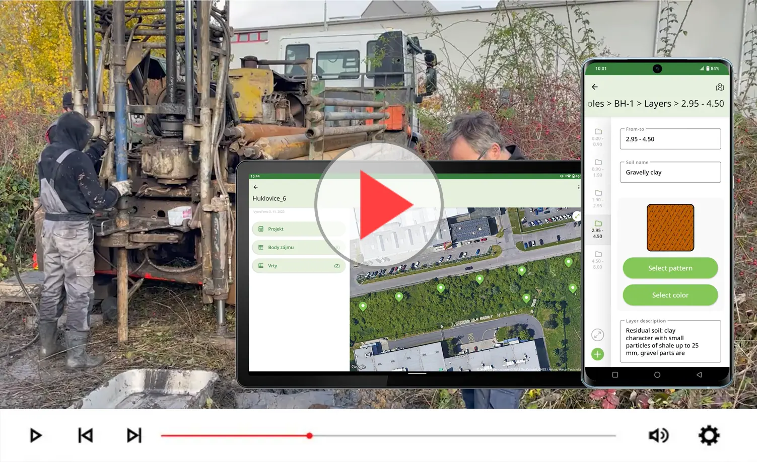
Field survey data processing in a mobile application
Work with point clouds
Point clouds with up to 100 million points can be processed in the Point Cloud program. It allows removal of buildings and vegetation, noise reduction, coordinate movement, modification of water surfaces, and reduction of the number of points. The program then imports the processed point cloud into the Stratigraphy program, and is also able to use the colors from the cloud to color the terrain in Stratigraphy. Point clouds from both photogrammetry and LiDAR can be processed.
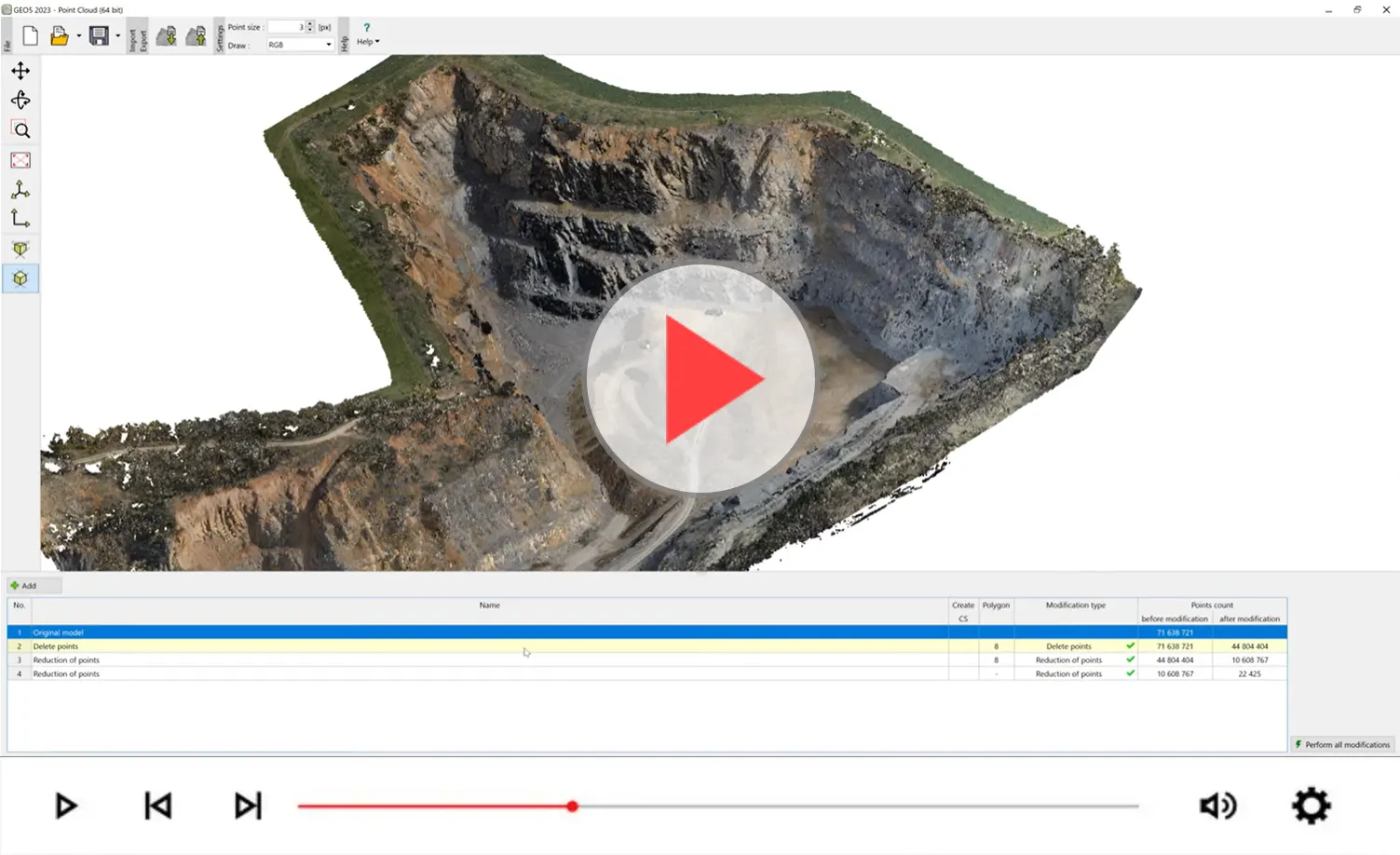
Processing Point Clouds in GEO5