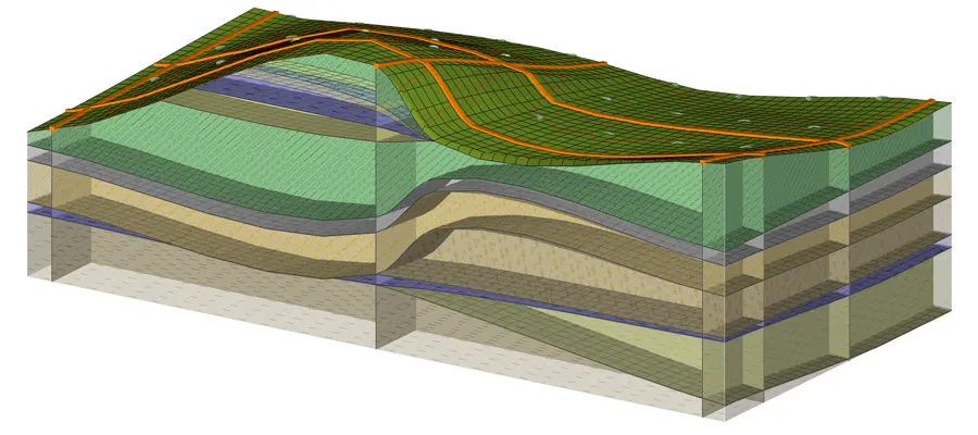
Creation of a 3D Subsoil Model
The basic program for creating a 3D model of the subsurface is Stratigraphy.
The modelling workflow corresponds to the work of a geologist:
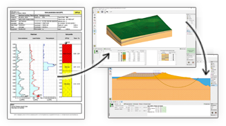
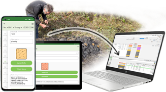
- Input of data from site investigation - boreholes, wells, CPTs, SPTs, etc.
- Interpretation of the entered data and creation of soil profiles
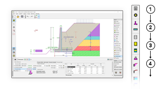
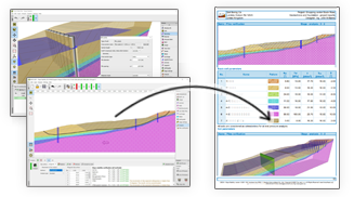
- Creation of 2D cross-sections similar to CAD programs
- Automatic creation of 3D model according to the entered cross-sections
All data entered can be used to create geological documentation.
Data Export to GEO5 Programs
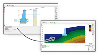
The 3D model can be also used as an input data set for all other GEO5 programs - soil profiles from arbitrary coordinates can be copied to 1D programs; i.e. for shallow or deep foundations, and the entire section can be transferred to 2D programs; i.e. for stability calculations. All data entered can be published in the geological documentation.
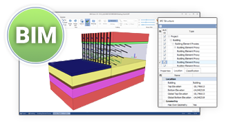
The entire model can be exported to other programs in various formats; i.e. IFC, DWG, DXF, LandXML, and then used in BIM modelling.
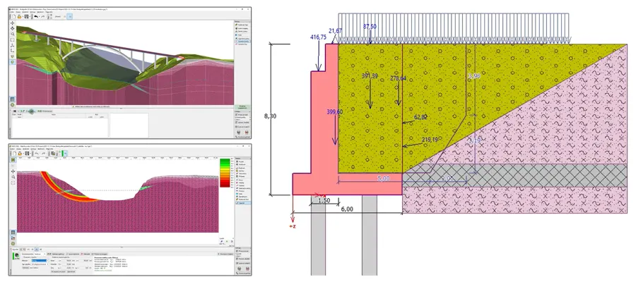
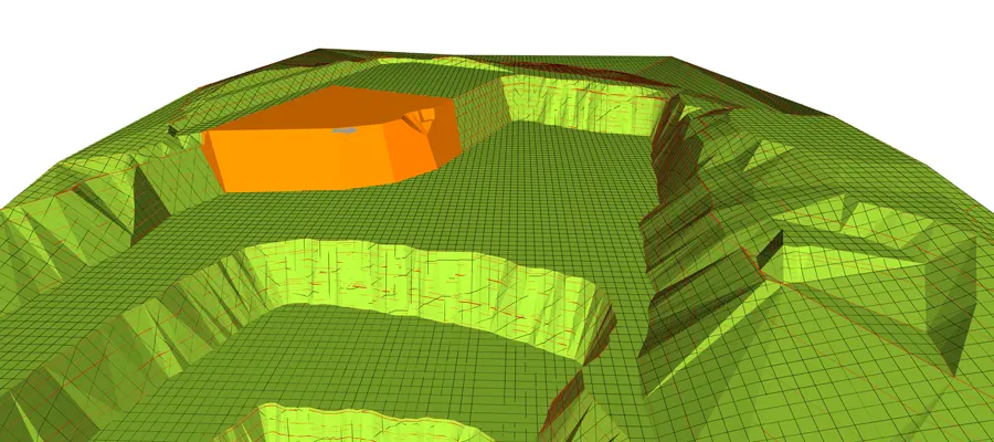
Earthwork Modelling
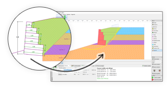
Using the Stratigraphy – Earthworks extension module, various modifications can be made to the finished 3D model; i.e. excavate foundation pits, make embankments, or model linear and planar structures. At each stage of the construction, it is possible to calculate the volumes of backfilled and excavated soil or analyse the change in the volume of water above the ground.