Activation
The program allows for removing (deactivating) soils from individual regions. As an example, we consider an embankment analysis. In such a case, it must be accounted for already in the topology regime when creating the overall geometrical model. In the 1st calculation stage, however, it can be deactivated. A similar approach applies also to underground or open excavations (tunnels, sheeting structures). When deactivating a region below the groundwater it is necessary to correctly model the region boundary.
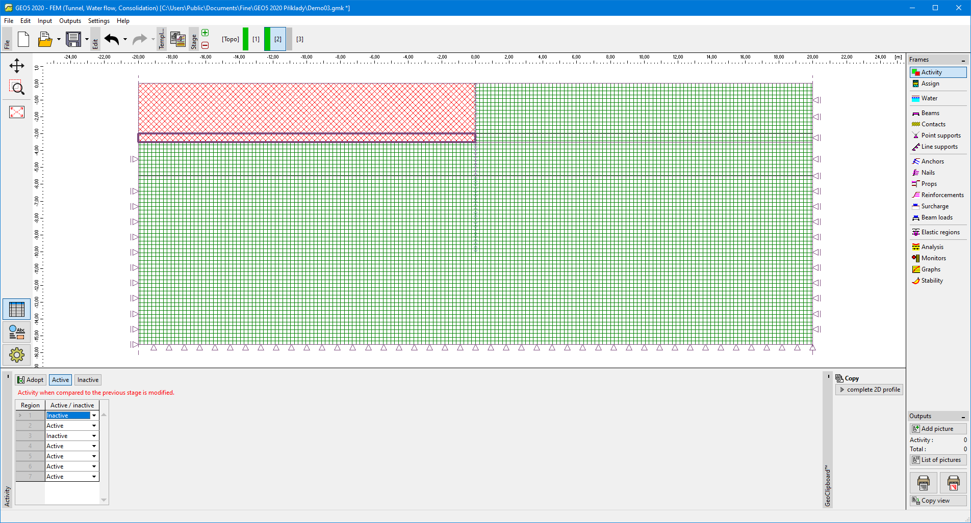 Modeling embankment - 1st construction stage
The embankment can be subsequently reactivated in the next construction stage.
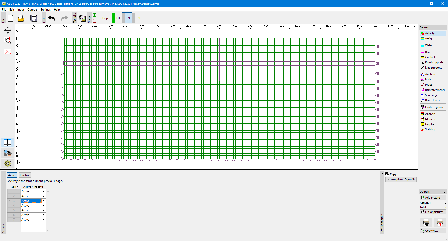 Modeling embankment - the activity of embankment body
Using FineClipboard there's a possibility to copy the current profile as sorted interfaces and allow copying profile to another program. Copied interfaces are corrected to follow specifications to 2D profile entered from top to bottom.