Terrain
The "Terrain" frame allows, by pressing the button, to specify the terrain shape. The selected shape with a graphic hint of input values is displayed in the left part of the frame. The terrain shape can be edited either in the frame by inserting values into input fields, or on the desktop by using active dimensions.
The last option in the menu is a general shape of a terrain. In this case, the frame contains a table with a list of terrain points. The first point with coordinates [0; 0] coincides with the top point of a structure.
The analysis of earth pressures in case of inclined terrain is described in "Distribution of earth pressures for broken terrain", a theoretical part of the help.
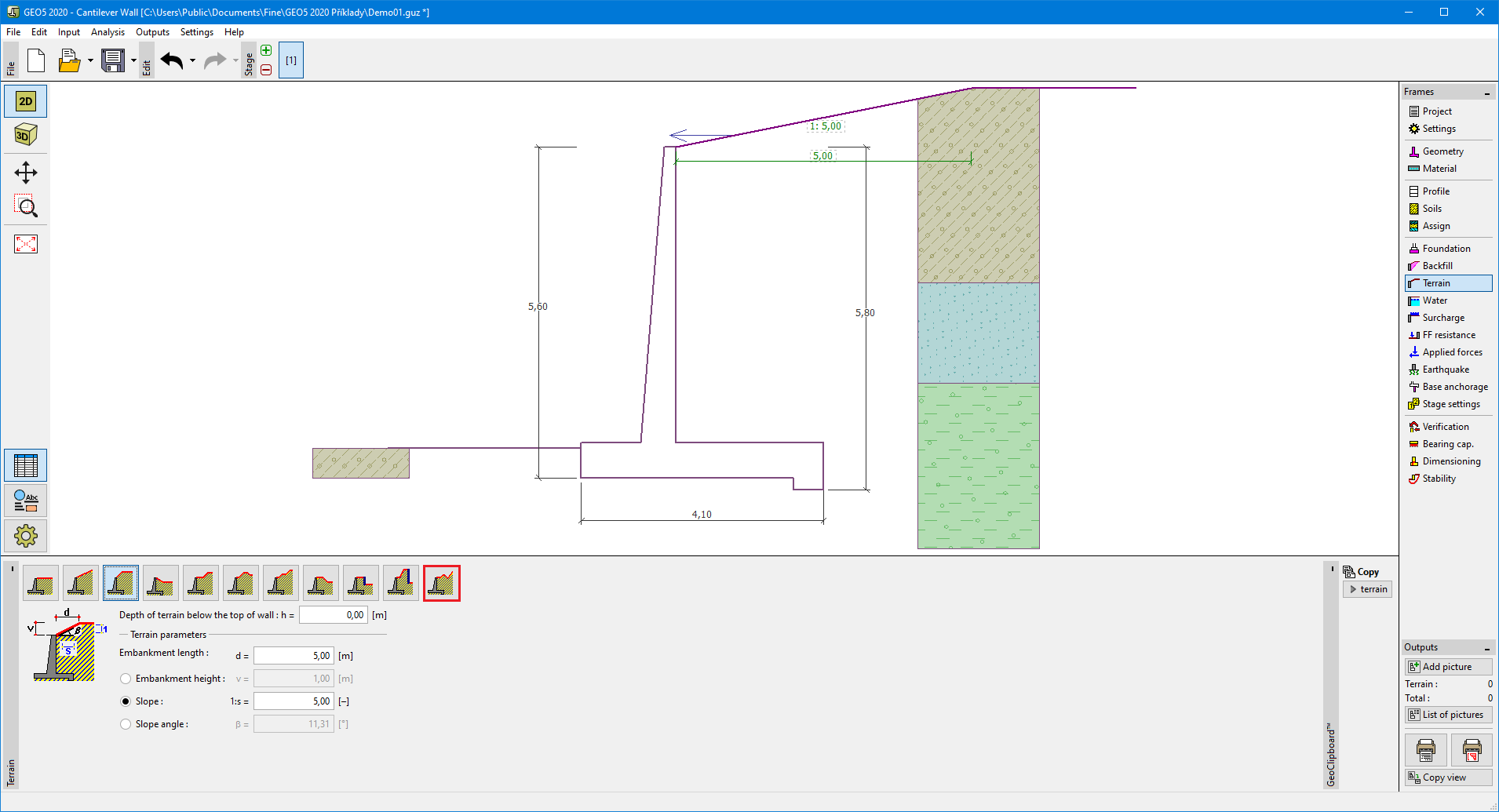 "Terrain" frame