Site view on Google Maps
GEO5 programs allow showing the location of the construction on Google Maps. In most GEO5 programs, it is possible to define GPS coordinates in the frame "Profile".
In the Czech version of programs, local S-JTSK coordinates can be introduced, too.
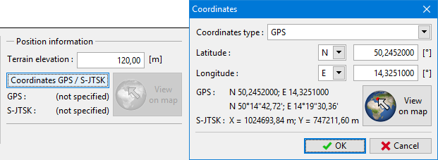 The input of GPS coordinates
By pressing the "View on map" button, you can show the location on the Google Maps.
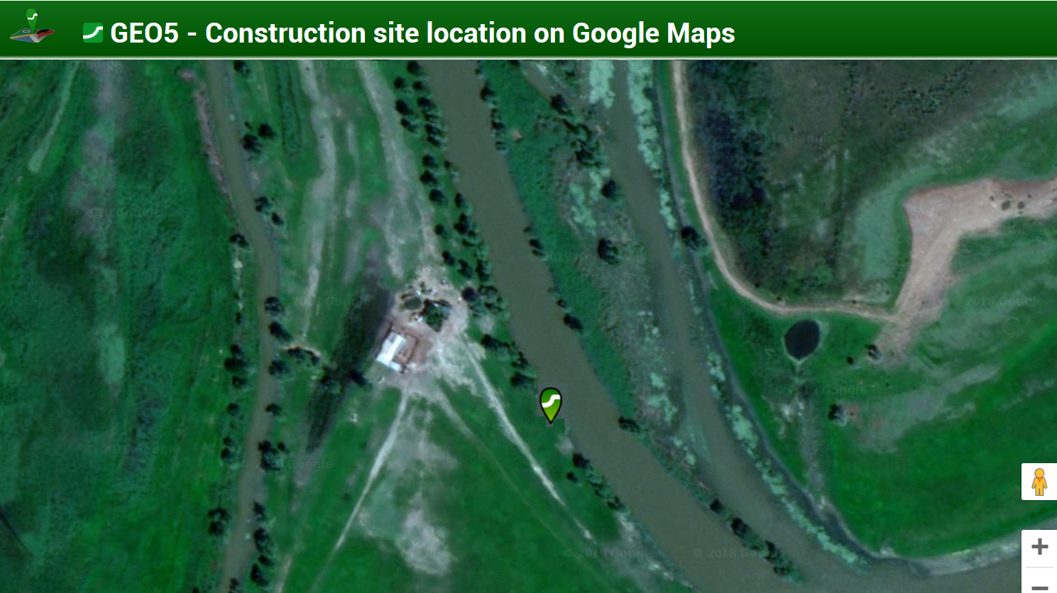 The site on Google Maps
In the program "Stratigraphy" it is possible to show the shape of the construction site and input boreholes and field tests in one of more than 6000 global coordinate systems from the MapTiler database (https://epsg.io/). The coordinate system is selected in the "Settings" frame.
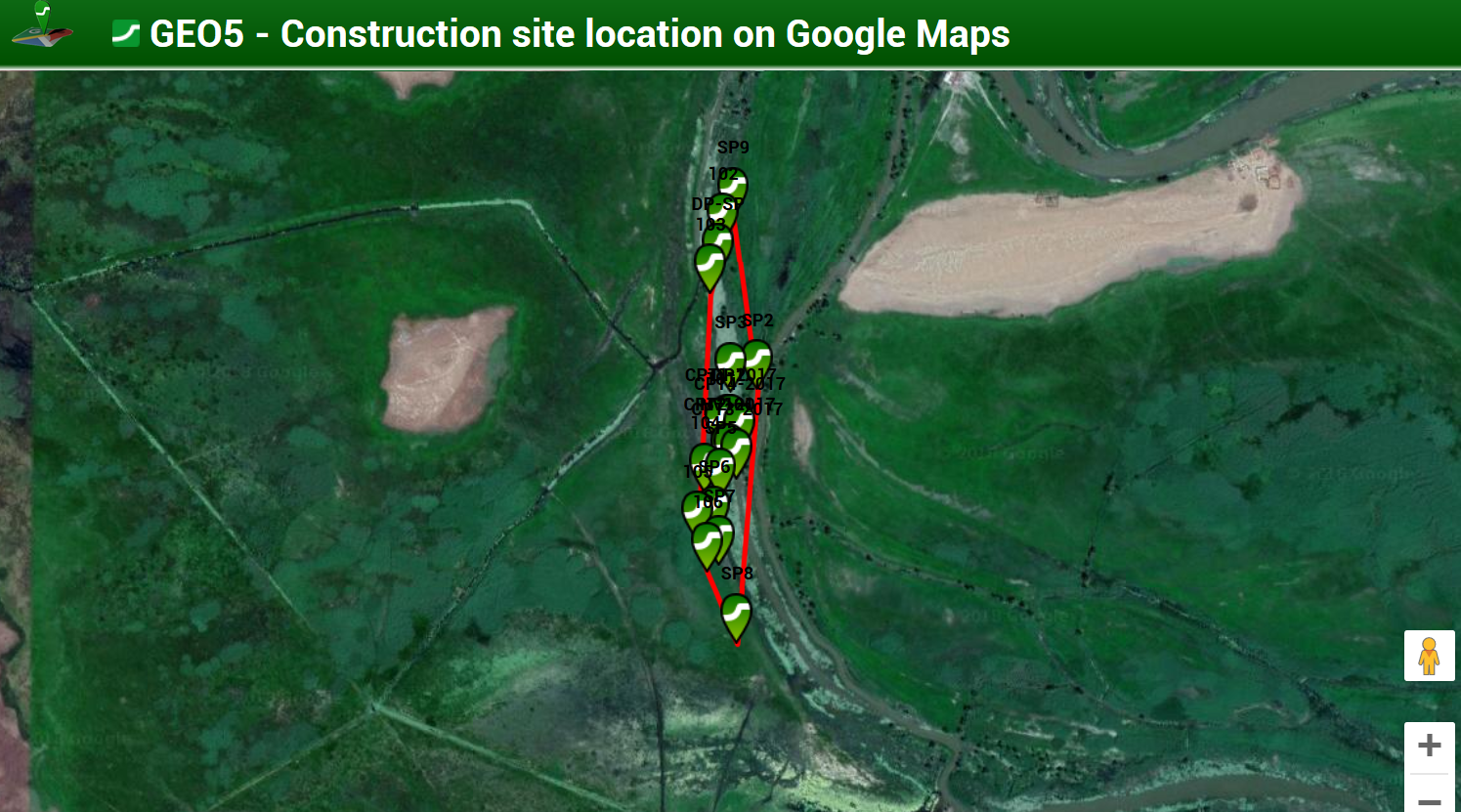 The construction site with provided tests on Google Maps