Creation of a Terrain Model
The creation of a digital terrain model is the first step for most tasks. The digital model of the terrain is created in the construction site dimensions from the entered terrain points.
The terrain points can be entered or imported. The terrain is generated automatically after each change of the entered points. The shape of the terrain is also influenced by the field tests with defined z-coordinate. When modeling slopes and broken terrains, the input of the active edge is important.
In this example, the slope modeled from six points [x; y; z] is shown: [0; 0; 0], [0; 10; 0], [7; 0; 3], [7; 10; 3], [20; 0; 5], [20; 10; 5].
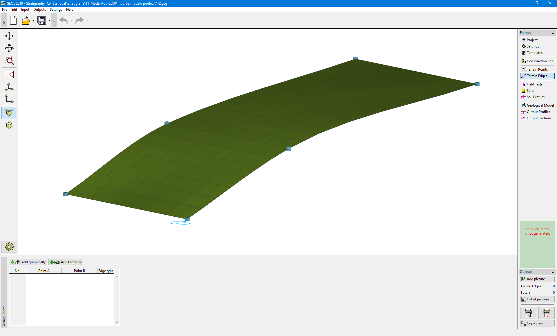 Terrain with medium refinement
The shape of the model can be greatly influenced by refinement the triangle mesh. The refinement is entered in the frame "Settings". The above model was designed for "intermediate" refinement. If the refinement is set to "none", the model looks as follows.
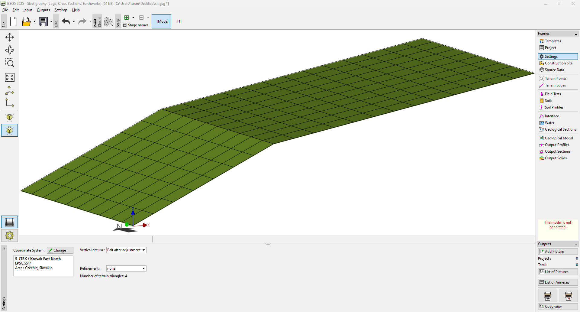 Terrain without refinement
Larger refinement allows us to create more realistic models, but the generation can be slower in case of higher number of layers. Sometimes, for a larger model, it is recommended to create the entire model without refinement and turn it on when output documentation or cross sections are created.