Check of the Final 3D Model
A correctly created subsoil model meets all boundary conditions - corresponds to defined Geological sections and Soil profiles.
Then best way how to check results is to switch over between Geological sections and Output sections and look for differences. Output sections are automatically generated in the locations of Geological sections. It is necessary to set correct visualization on the desktop for each frame.
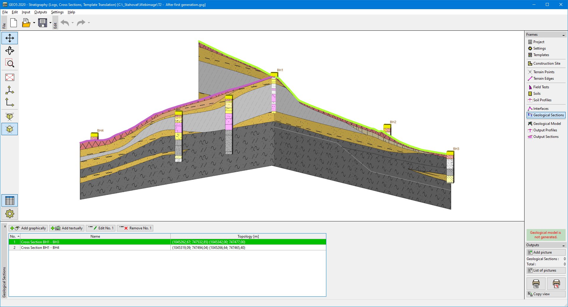 Displayed geological sections - input data for subsoil modeling
In the picture, the layer of clay is a wrongly generated. In this case, it was caused by defining an interface only on the part of the model. For this reason, we add a position of this interface above the borehole BH1, too.
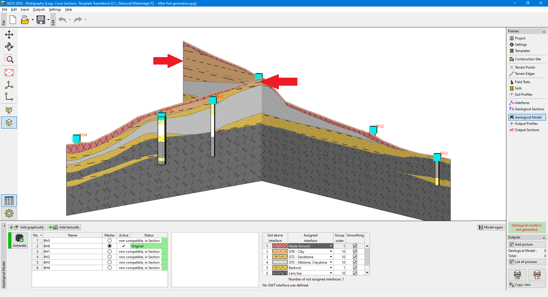 Wrong generation of a clay layer
After the new generation, the layer of clay is created correctly.
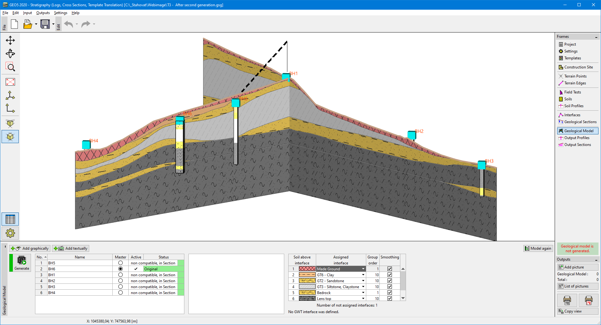 Newly generated model