Special Data Operations
The special data operations can be performed using the "Options" button (hamburger) ![]() or right-mouse click on the selected points in the table.
or right-mouse click on the selected points in the table.
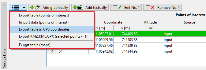
These tools are very useful for working with data, especially for importing and exporting data:
- Export table (points of interest) - it exports the table of points of interest coordinates in *.xlsx, *.xls, *.ods, *.csv, or *.htm format
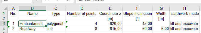 Example of data export in *.xlsx (Excel) format
- Data import (points of interest) - it allows the import of table data
- Export table in GPS coordinates - it exports the table of points of interest GPS coordinates in *.xlsx, *.xls, *.ods, *.csv, or *.htm format
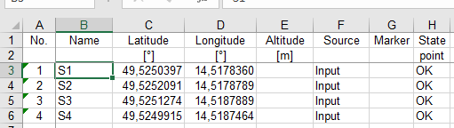 Example of data export in GPS coordinates in *.xlsx (Excel) format
- Export KMZ, KML, GPX - it exports points in *.kmz, *.kml, *.gpx formats. These files can be then imported into mobile devices or map applications (e.g. Google Maps, etc.).
- Distance of points - it measures the distance between two selected points. The points can be selected in the table, or on the desktop. After selecting two points, the bubble help with information is shown. Using the right mouse button on the selected points in the table or on the desktop, the contextual menu with the "Distance of points" option is shown. This option opens the "Information" dialog window where the distance is shown.
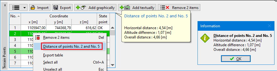 Distance measurement of two points
- Copy of points coordinates into the FineClipboard - the coordinates can be copied into the clipboard. We can copy all or only the selected points. These points can be then pasted in other frames - this way, we can, for example, transfer points from Source Data to the Terrain Points.
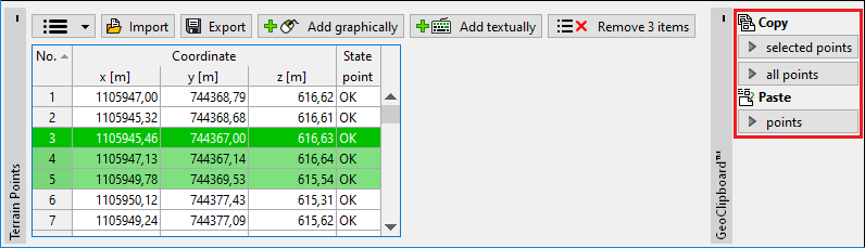 Copy of points coordinates into the clipboard