Water
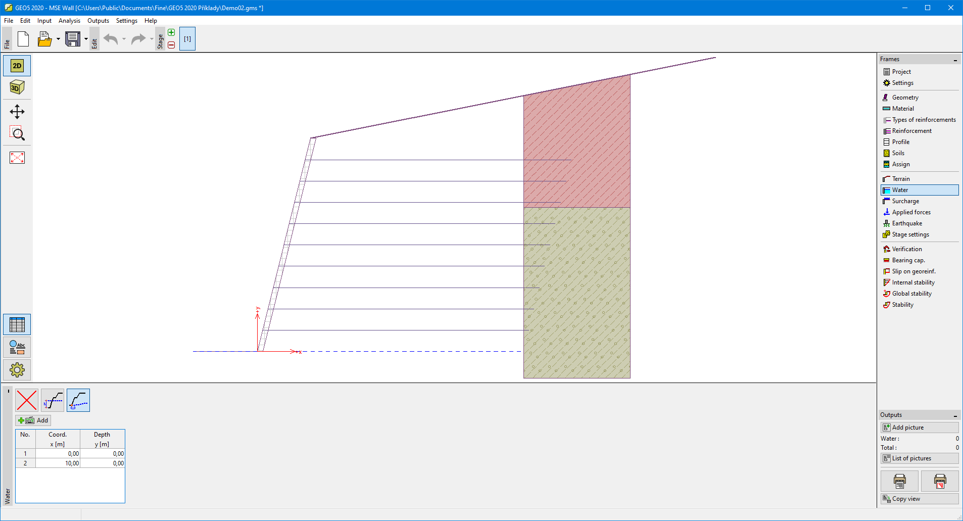
The "Water" frame allows for selecting the type of water. The groundwater table can be specified in two ways. The first option allows us to input the height of groundwater table. The second option enables to define an arbitrary shape of the groundwater table by coordinates.
The water parameters (water table height, coordinates of points) can be edited either in the frame by inserting values into the input fields or on the desktop using the active dimensions or active blocks.
 Frame "Water"