Program Point Cloud
The program is designed to process clouds with a large number of points (in the order of hundreds of millions). The main functions include various modifications such as point reduction, cloud cropping, coordinate shifting, or special options such as vegetation removal, etc.
The program is primarily used for preparing and transferring data to the Stratigraphy program — data are transferred using the Clipboard (all data) or FineClipboard™ (individual clouds in Edit mode).
The resulting point clouds can also be exported in .las or .e57 formats, or their coordinates in a text format.The main control element of the program is the upper toolbar (A), which is divided into several sections:
- File operations (1)
- Data import/export (2)
- Printing outputs (3)
- Clipboard (4)
- Mode switching (Project / Construction Site / Edit) (5)
- Construction stages (6)
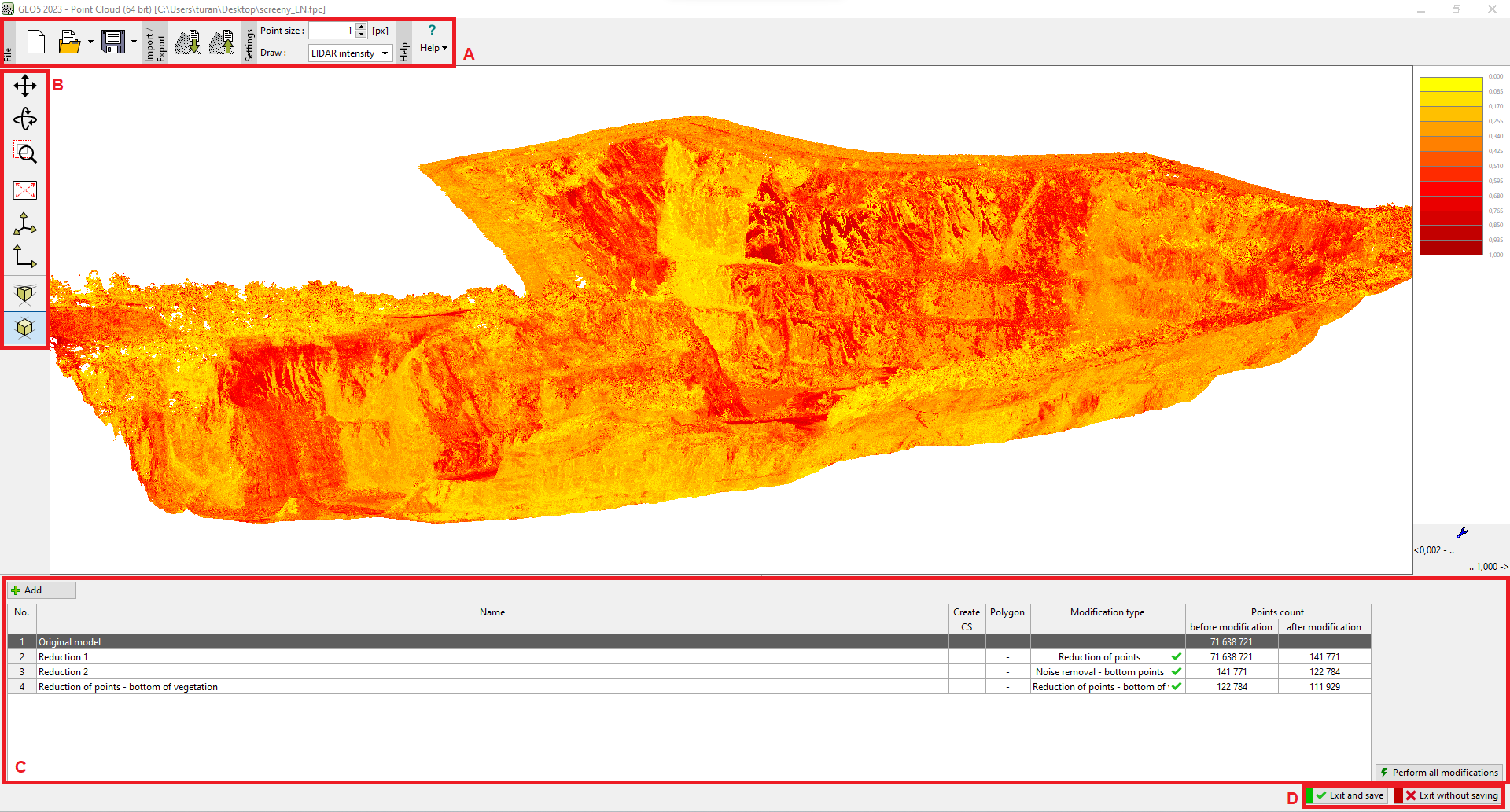
- Display settings for individual points (7)
- Help and environment settings (8)
Side toolbar (B) - used for visualization settings
 "Point Cloud" program
For faster work, we recommend using the 64-bit version, which is required for point clouds with more than 10 million points.