Terrain - Plane and Polygonal Slip Surface
Two possibilities of terrain input are available it the frame "Terrain". Terrain can be defined by sections of rock slope or it can be defined by coordinates X and Z. This frame contains a table with a list of defined sections of a rock slope or table with a list of coordinates of each terrain point. In the program, the slope is always oriented from left to right.
The coordinates of the origin - the first point of terrain followed by defined sections - are entered in the upper part of the frame if the method of definition of sections of rock slope (inclination and length) is used.
Adding section is performed in the "New section" dialog window. These sections can also be edited on the desktop with the help of active objects.
Each section can be defined by its dip, by the overall length of the section, by the horizontal length, or height of a section. Only two selected values are used while the others are determined by the program automatically (if more than two entry fields are checked than the input and computation are not carried out). Both vertical and horizontal sections, as well as overhangs, can be represented. Terrain must be defined from the bottom up.
In case of a proper input, the program automatically plots the defined section on the desktop using a dashed line so that before accepting it, it is possible to check whether the section is correctly defined.
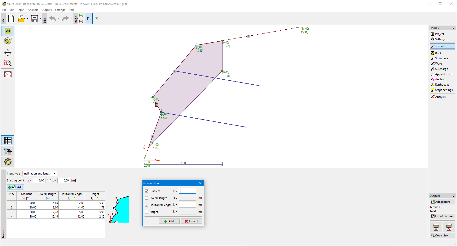 Frame "Terrain" - Inclination and length
If you use the coordinates for definition of terrain, the surface of terrain must be defined from bottom up. Adding point is performed in the "New point" dialog window. These points can also be edited on the desktop with the help of active objects. Both vertical and horizontal sections, as well as overhangs, can be represented. The program allows importing points from table data.
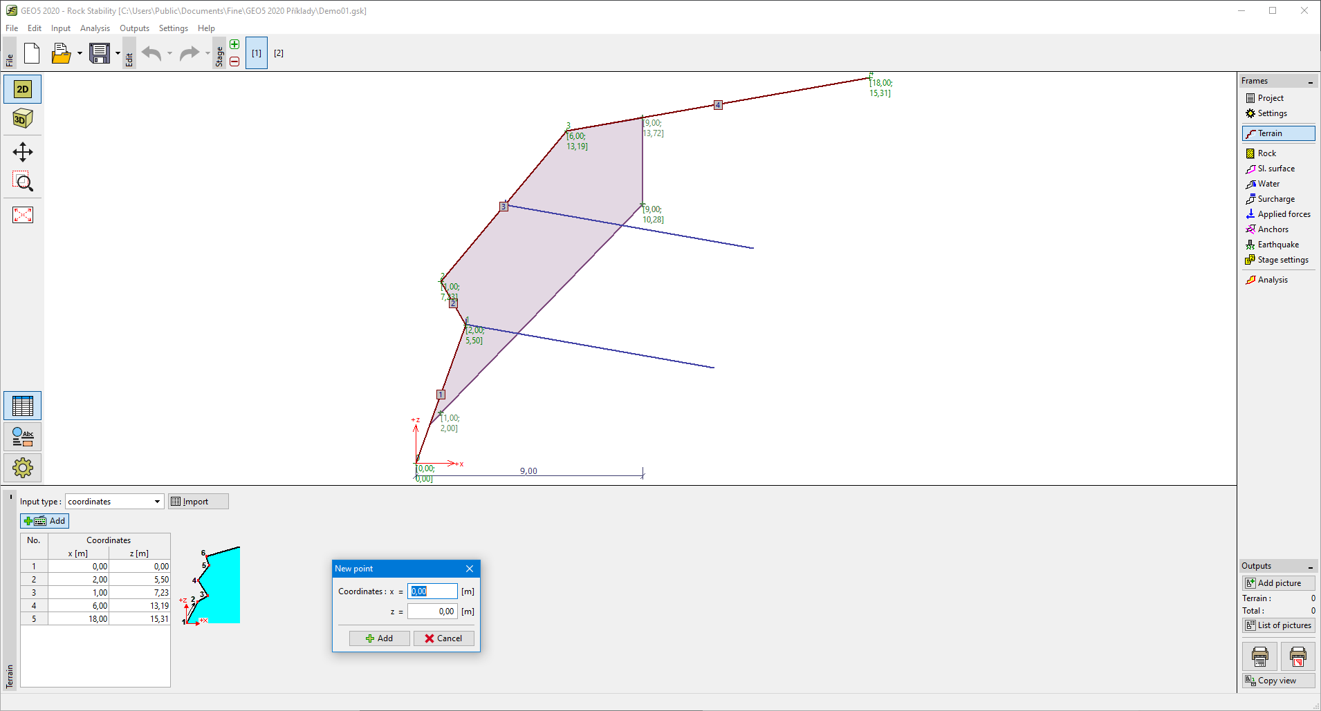 Frame "Terrain" - Coordinates