Process of Creation of Geological Model
It is necessary to know a procedure of a geological model generation for a correct understanding of the creation of the geological model.
1. First, the digital terrain model is created from the terrain points and tests (exploration points) with defined z-coordinate. Then, the boreholes are placed into the model.
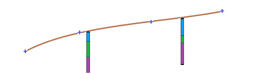
2. Assistant boreholes corresponding to the closest active borehole are automatically generated to all corner points of the "construction site". On the boundaries of the construction site, all boreholes from the active edge are also projected.
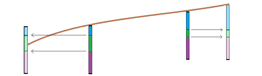
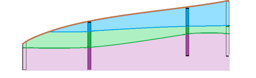
3. The soil layers and groundwater tables are generated from the boreholes and assistant boreholes (in points on construction site boundaries).
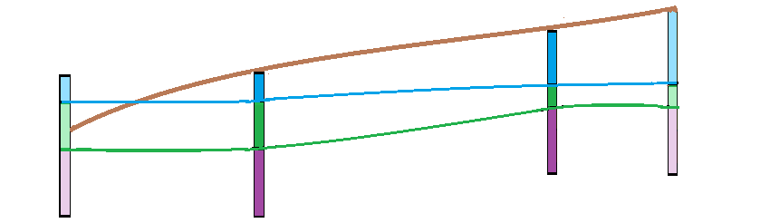
4. The layers are verified if they do not intersect the terrain (or other layers). The layer above the terrain is cutted to follow the terrain.
 d
d