Points of Interest
This part contains a table of Points of Interest. These points can represent planned IG survey locations, property boundaries, other structures, etc.
Points of interest can be created directly in the application or imported from "Stratigraphy", where they are defined in the "Source Data" frame.
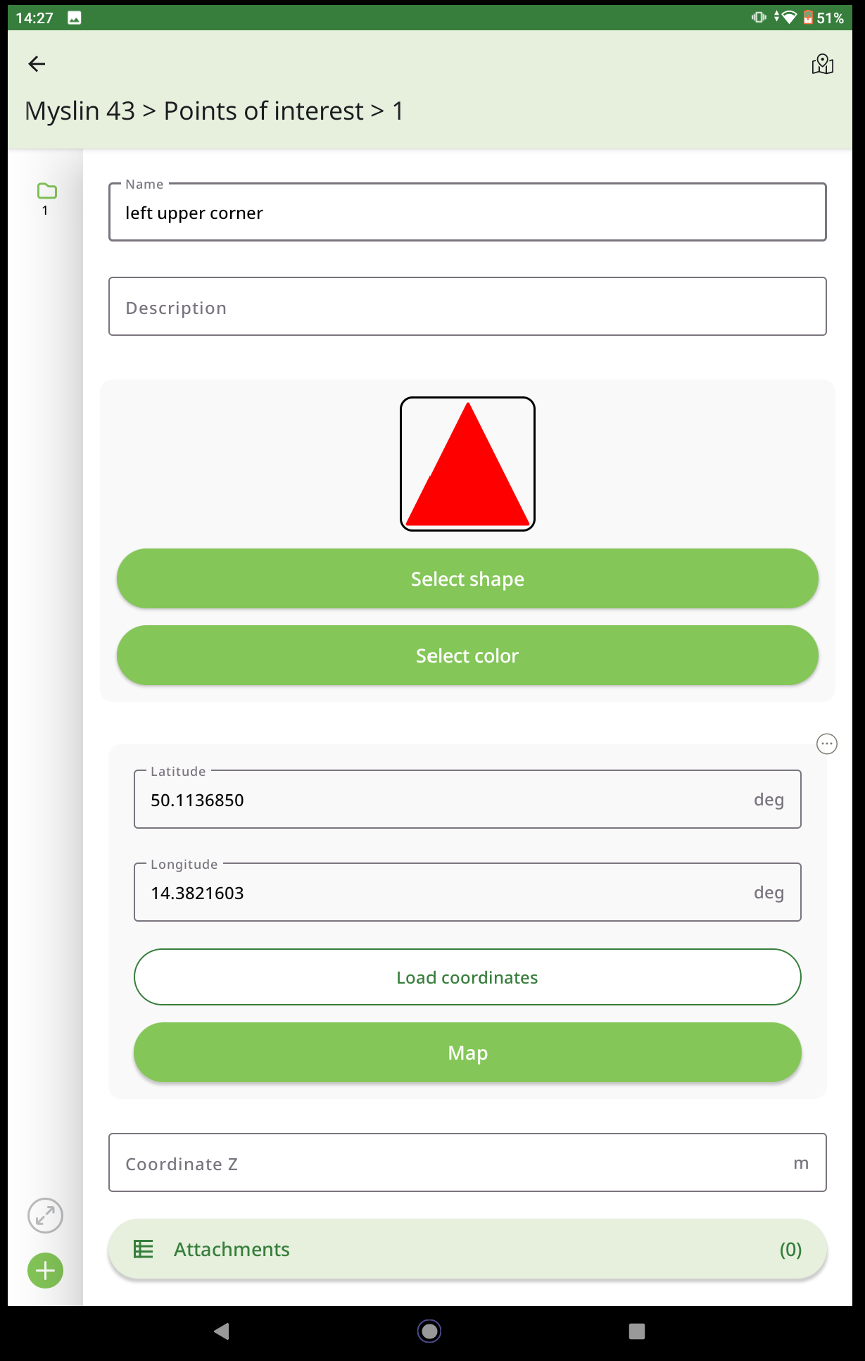
Each point is defined by name, marker, color, and coordinates - these can be loaded using GPS or edited in the map. In addition, a description and any number of attachments can be added to each point.
The format of the entered data for points of interest is fixed and cannot be changed in any way.
 Point of Interest