Change of Coordinates
For the whole cloud we can use the coordinate change. This is particularly useful when composing multiple clouds in local coordinates together.
The program offers the following options:
- "move coordinates by value" - all points are shifted by the specified distance in the x, y, z axis direction
- "change axis directions" - the program allows to hanging the sign of the x and y axis
- "set coordinates of selected point" - after entering the "binding" of the original and new coordinates of one point, the program converts all points to the new coordinates so that the original distances between them are preserved
- "rotation around axis"
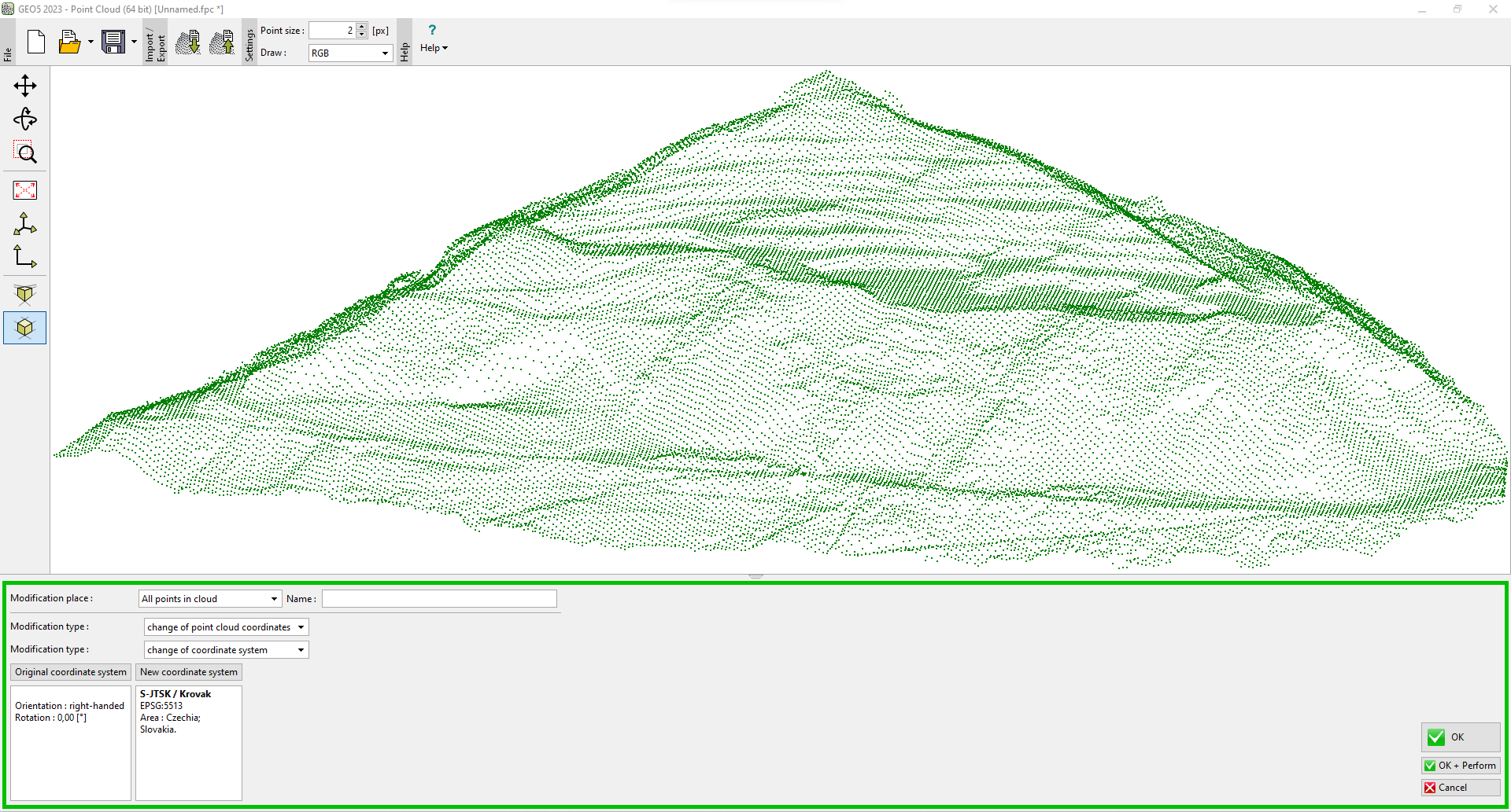 Modifying the point cloud by changing the coordinate system