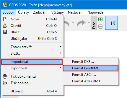
Import CAD/LandXML
The Stratigraphy program allows importing data in LandXML or CAD formats. Supported formats include, for example, (*.dwg, *.dxf, *.dgn, *.ifc, *.ifcZIP, *.xml).
The import is performed in the "Terrain Points" frame using the "Import" button:
 Import of points
Point coordinates can be converted from another coordinate system or GPS before importing.
The data is loaded and displayed in the dialog window, which allows selecting individual layers to be loaded as points and interfaces. The same dialog window also allows us to modify the unit used when creating the LandXML file. The structure can also be moved. The program offers the following options:
- do not move - this option reads data in the same way as they were input
- automatically from zero - this option moves the left bottom corner of the structure to the coordinate system origin
- input - this option allows us to define the shift manually
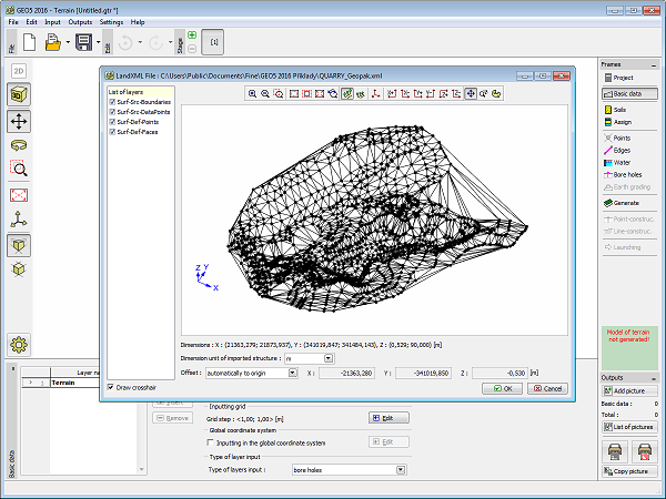 Loading data
Supported LandXML elements: Units, Alignments, CgPoints, Parcels, PlanFeatures, Roadways, Surfaces, Survey.
Not supported LandXML elements: GradeModel, Spiral curves except clothoid.